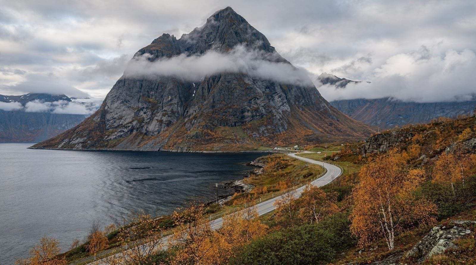
Senja hikes — best trails on Norway's most scenic island
Tromsø: Midnight Sun Adventure Tour
What are the best hikes on Senja island from Tromsø?
Senja's most iconic hikes are Segla (639 m, 3–4 hours return) and Hesten (658 m, 3–4 hours). Both are dramatic ridges above the coast with views of the Senja fjords and ocean. The drive from Tromsø is 2.5–3 hours. Senja is genuinely one of Norway's most scenic islands but the trailheads are busy in July–August.
| Where | Bergsfjorden peninsula, Senja, around 2.5–3 hours from Tromsø |
| Cost | Free trails; fuel/ferry around 300–600 NOK self-drive round trip |
| Time needed | 3–4 hours per hike, plus 5–6 hours driving |
| Getting there | Rental car required — no direct public bus to the trailheads |
| Best time | June–September for dry trails; avoid ice season without crampons |
Senja is regularly described as Norway’s most scenic island, which is a credible claim when you see the Bergsfjorden peninsula from Segla’s summit ridge — ocean on three sides, a tangle of fjords below, and mountains rising out of the water with no gradual build-up. The island is a genuine hiking destination, not a marketing fabrication.
The catch for visitors from Tromsø is the drive: 2.5–3 hours each way, making it a full day commitment. This guide covers the main hiking routes, realistic logistics, honest difficulty assessments, and what to plan around to make the most of a Senja day.
Getting to Senja from Tromsø
Drive south from Tromsø on the E8 and E6, then cut west toward Senja via road 86 near Sørreisa. The drive to the main hiking area around Mefjordvær and Bergsfjorden takes 2.5–3 hours depending on your exact destination on the island. There is no direct public bus from Tromsø — a rental car is required. See our car rental guide for Tromsø for Arctic driving tips.
Departure time: Leave Tromsø by 06:00–07:00 to have 4–5 hours on the island before driving back. The days are long enough in summer to make a 06:00 start worthwhile — you will be driving into the morning sun over scenic fjords.
Segla — the signature hike
Segla (639 m) is Senja’s most photographed peak. The summit is a narrow ridge above Mefjordvær village — the classic image shows a triangular snow-streaked horn above emerald-green water with fishing village below. It is the photo that put Senja on the international hiking map.
Trailhead: Mefjordvær village, Senja’s west coast. Parking at the village (free, limited).
Route: The trail starts between the village houses and climbs steeply through birch forest, then onto open moorland. The upper section (above 400 m) involves hands-on-rock scrambling and a genuinely narrow ridge with exposure on both sides. Total elevation gain approximately 580 m. Distance return approximately 4–6 km.
Time: 3–4 hours return for fit hikers. Allow an extra hour in wet conditions.
Difficulty: Challenging. The upper ridge section is exposed — a slip on the final section could be serious. Do not attempt in wet, icy, or high-wind conditions. Not suitable for those uncomfortable with heights.
Warning: The trail is now heavily used in summer and erosion is significant. Stick to the marked route. Do not shortcut across the hillside.
Hesten — the rival summit
Hesten (658 m) stands adjacent to Segla on the Bergsfjorden peninsula. It is technically slightly higher and has a different character — slightly less exposed on the summit, but with a longer approach. The views are equally dramatic.
Trailhead: Also accessible from the Mefjordvær area. Some hikers combine Hesten and Segla in one day; this is a serious full-day commitment of 6–8 hours and significant elevation.
Difficulty: Challenging, similar to Segla. The approach is steep and pathless in sections above the treeline.
Husfjellet — the moderate alternative
Husfjellet (near Hamn i Senja) offers a less technically demanding hike with still-impressive coastal views. The summit is around 400–500 m, the terrain less exposed than Segla’s ridge, and the route more straightforward.
Suited for: Hikers who want genuine mountain views without the scrambling and exposure of Segla or Hesten. Families with older children who hike regularly.
Time: 3–4 hours return.
Barden — for experienced ridge walkers
Barden is one of the more demanding objectives on Senja — a high ridge with sections that cross into scrambling territory and, in places, require route-finding skills. Not recommended without previous Norwegian mountain experience.
Senja in winter — a different calculation
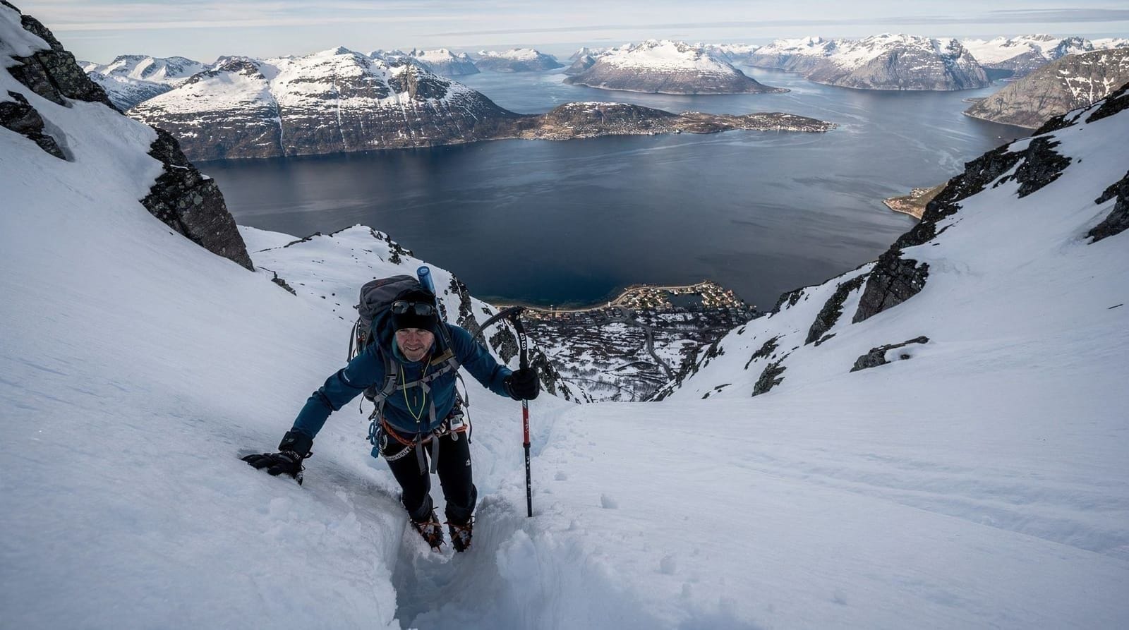
In winter, Senja’s hiking routes are substantially more demanding. Segla’s upper section is an icy scramble requiring crampons and comfort with exposure in cold conditions. The E6 approach drive can be challenging in heavy snowfall.
Senja in winter is better experienced by driving the National Tourist Route with stops at viewpoints rather than attempting technical ridge hikes. For winter hiking near Tromsø, the Kvaløya hills or guided snowshoe tours are more accessible.
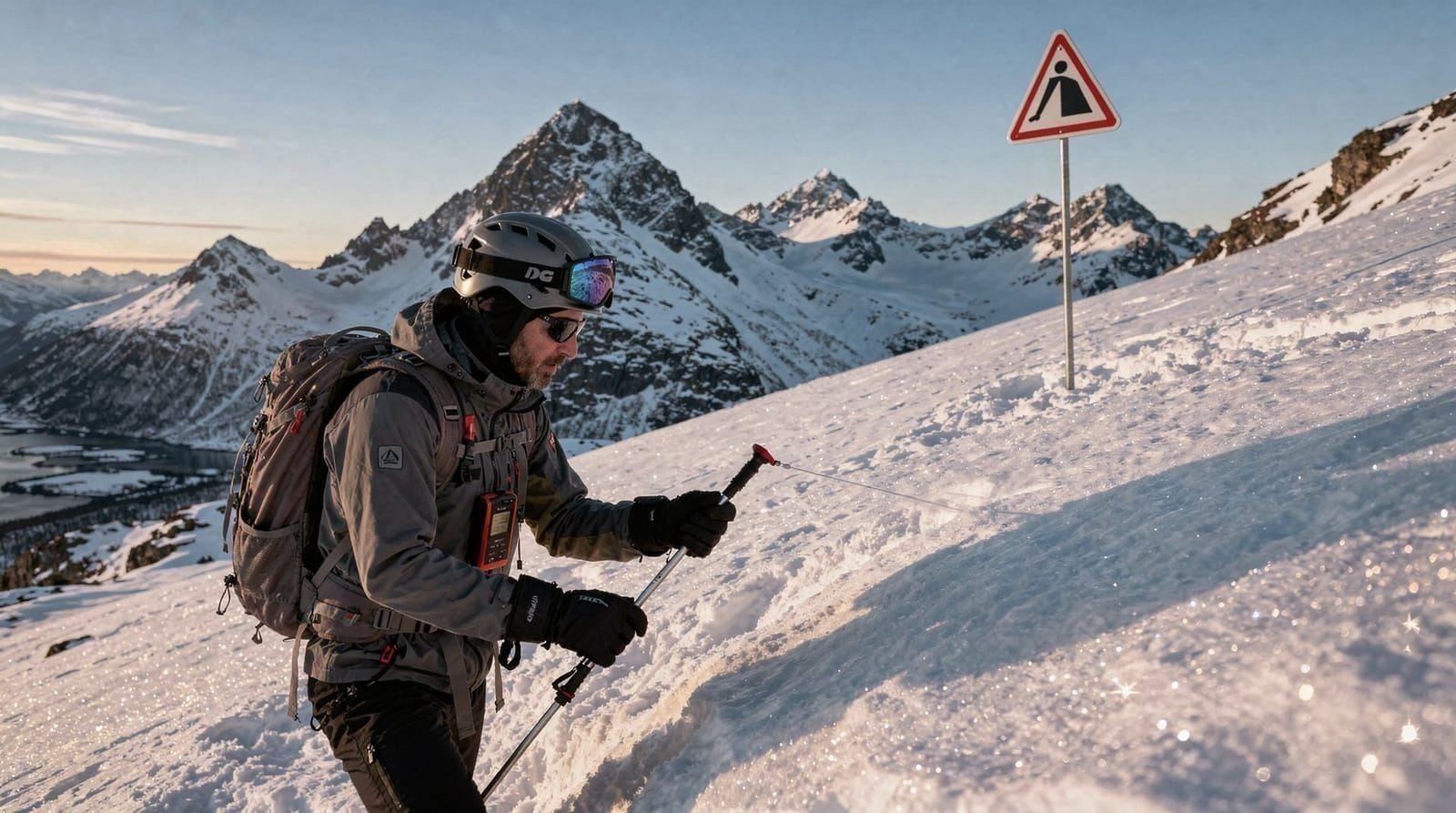
Check our avalanche safety guide before any Senja winter hiking.
Gear for Senja hikes
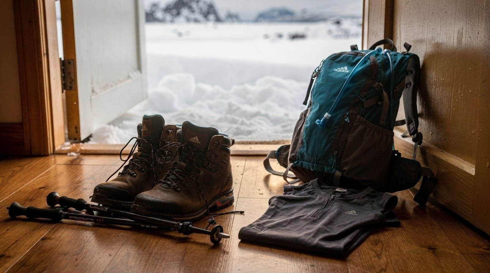
The Senja coast is exposed to Atlantic weather — worse than the sheltered Tromsø fjords. A full waterproof jacket and trousers (not just a soft shell) is required even in summer. Wind on the Segla ridge at 600 m can be sharp in any month.
Key items:
- Waterproof jacket and trousers
- Mid-layer (synthetic or wool)
- Solid ankle-support hiking boots with grip
- Trekking poles (essential for Segla’s descent)
- Map downloaded in Ut.no app
- 2 litres water, food for a full day
- Headtorch
Full kit list at our hiking gear guide for Tromsø.
Food and practical stops on Senja
Senja has limited food infrastructure outside Finnsnes (the main town, on the island’s east coast, not near the hiking areas). The only cafe-style option near the Bergsfjorden hiking area is at or near Hamn i Senja hotel. Pack lunch and snacks from Tromsø. Fuel up in Tromsø or Sørreisa — petrol on the western Senja coast is unreliable.
Toilet facilities: None at the Mefjordvær trailhead. Bring waste bags if you go off-trail.
Guided midnight sun hiking around Senja
A guided midnight sun adventure tour in the broader Tromsø/northern Norway region gives you organised mountain access during the extraordinary Arctic summer light without the full logistics of a Senja drive. For committed hikers, the self-drive Senja experience is rewarding; for those who want simplicity, a guided tour in the Tromsø mountains works well.
Senja hikes at a glance
| Hike | Elevation gain | Time | Difficulty |
|---|---|---|---|
| Segla | around 580 m | 3–4 hours | Challenging, exposed ridge |
| Hesten | similar to Segla | 3–4 hours | Challenging, longer approach |
| Husfjellet | around 400–500 m | 3–4 hours | Moderate |
| Barden | significant | Full day | Very challenging, route-finding needed |
If this is your first Senja hike and you are unsure of your fitness or comfort with exposure, start with Husfjellet rather than Segla — it delivers genuine coastal views without the ridge scrambling. Combine it with a stop on the Senja day trip route for the scenic drive without committing to the harder summits.
Senja vs Lyngen for a day hike from Tromsø
| Factor | Senja | Lyngen Alps |
|---|---|---|
| Drive from Tromsø | 2.5–3 hours | 1.5–2 hours |
| Summit character | Coastal ridge, sea views | Alpine, glacier proximity |
| Most iconic route | Segla (639 m) | Blåbærtoppen (~1000 m) |
| Easier options | Husfjellet, coastal paths | Kjosen valley |
| Winter hiking | Difficult, icy | Difficult, avalanche risk |
Both islands are worth a full day. If you can only do one, Lyngen is the more accessible for a first Tromsø trip; Senja is the higher-effort reward for a second visit or dedicated hikers.
The Senja National Tourist Route
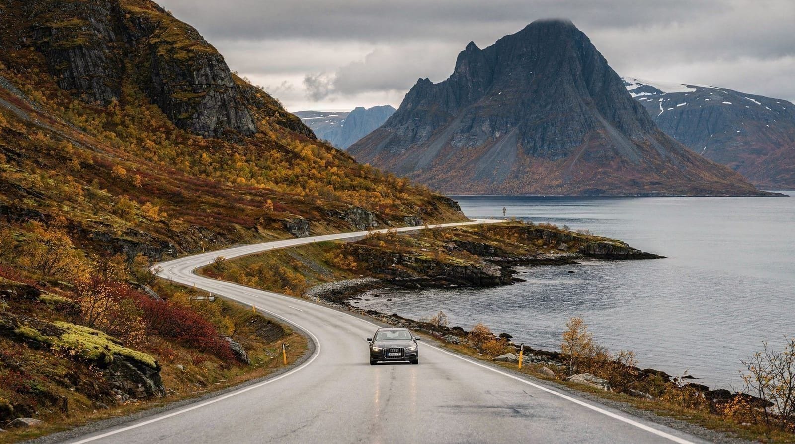
Senja is one of Norway’s 18 National Tourist Routes — a designation given to scenic driving roads with developed viewpoints and stopping areas. The route runs around the western (Fjordgard/Bergsfjorden) side of the island, where the coastal scenery is most dramatic.
The tourist route itself is a useful planning framework: viewpoints are signposted, parking areas are maintained (though some are basic), and the road is in good condition in summer. The route passes near the Segla and Hesten trailheads, Husøy fishing village, and several cliff viewpoints above the sea.
Driving the tourist route without hiking takes 2–3 hours including stops. Adding a Segla or Hesten hike makes it a 6–8 hour day. The most common itinerary is: drive the route in its entirety, stop at the photo viewpoints, then finish with a hike at the most appealing location.
Fishing villages on Senja
The coastline of Senja has several traditional fishing villages that have retained their original character. These are not museum-piece displays — they are still active fishing communities, most with rorbuer (traditional red fishing cabins) and a small harbour.
Husøy: One of the most visited, partly accessible by a bridge that was significantly improved in recent years. The village clusters on a small island with the sea on all sides and mountains behind. Worth 30–45 minutes for a walk around the harbour and the old fishing infrastructure.
Mefjordvær: The village at the base of Segla. Very small, no facilities beyond the basic trailhead parking. Beautiful position at the head of a narrow fjord.
Hamn i Senja: The hotel and marina at Hamn is the most developed “destination” on the island — a converted fishing station now operating as a boutique hotel. Worth driving through even if not staying; the old building complex and the views across the fjord are photogenic.
Driving to Senja from Tromsø — the route in detail
Departure from Tromsø: Take the E8 south toward the airport, then follow the E8 toward Sørreisa. After approximately 2 hours, turn west on road 86 toward Senja.
Entering Senja at Senjahopen: The bridge connecting the mainland to Senja is at the island’s eastern end. From here, drive west — the scenery improves steadily as you cross the island.
The tourist route (Fv862 / Fv863): This runs around the western side of the island in a loop. The most dramatic section is between Husøy and Bergsfjord, where the cliffs above the sea are most vertical.
Navigation: Download offline maps before leaving Tromsø — signal on western Senja is unreliable. The Ut.no app has the tourist route marked.
Fuel: Fill up before leaving the E6/E8 junction — petrol stations on the western Senja coast are unreliable.
Photography on Senja
Senja’s visual appeal is based on the combination of vertical elements — steep cliffs, narrow fjords, the Bergsfjord peninsula summits rising directly from the water. The best photography comes from elevation: the view from Segla’s summit ridge, or from the coastal road viewpoints above the sea.
Best light: Early morning (06:00–09:00) gives low-angled light on the north and east-facing cliffs. During midnight sun season, the late evening (22:00–01:00) gives exceptional warm light on the western faces and ocean.
Drone rules: Drones require registration and have specific no-fly zones (near settlements, helicopter pads). In Norway, recreational drones are allowed below 120 m altitude away from populated areas. The Senja National Tourist Route viewpoints are generally permissible. See our drone rules Norway guide for the full framework.
Frequently asked questions about Senja hikes
How far is Senja from Tromsø?
Senja is approximately 2.5–3 hours by car (150–180 km). No direct public bus serves the hiking areas — a rental car is required.
Is Segla the hardest hike on Senja?
Segla is challenging (580 m elevation gain, exposed summit ridge, some scrambling) but not the hardest route on the island. It is not suitable in wet, icy, or high-wind conditions.
Can I hike Senja in winter?
Some routes are possible with proper equipment and experience, but Segla and Hesten become serious mountaineering objectives in winter. The Senja National Tourist Route drive is a better winter option for most visitors.
Is Senja worth the drive from Tromsø?
For hikers and photographers, yes. Senja’s coastal mountain scenery is genuinely exceptional. Allow a full day and depart Tromsø by 06:00–07:00.
What is the difference between Hesten and Segla?
Both are summits on the Bergsfjorden peninsula. Segla (639 m) has the narrower, more exposed summit ridge and is the most photographed. Hesten (658 m) is slightly higher with a different approach and views.
Are there easy hikes on Senja for families?
Husfjellet near Hamn i Senja is more moderate. The coastal paths near Husøy fishing village are flat and accessible for all ages.
Do I need a guide for Segla or Hesten?
No, both are unguided, marked trails that experienced hikers complete independently. A guide adds value mainly through local weather knowledge and safety backup rather than route-finding, since the paths are well cairned above the treeline. See hiking safety and avalanche awareness before a solo attempt in shoulder-season conditions.
Can I do a Senja hike as part of a broader Tromsø trip without a car?
Not practically for the Segla/Hesten trailheads, since no direct public bus reaches them. A guided midnight sun hiking tour or a rental car via the Tromsø car rental guide are the two realistic options.
Top experiences
Bookable activities with verified prices and instant confirmation on GetYourGuide.