Hiking on Kvaløya — best trails close to Tromsø
From Tromsø: Guided Husky Snowshoe Hike and Husky Camp Visit
What are the best hikes on Kvaløya near Tromsø?
Kvaløya offers coastal walks at Ersfjordbotn, the ridge hike to Skulsfjord, and the popular Daltinden climb. Most trailheads are 20–40 minutes from Tromsø by car. Terrain ranges from easy beach-and-cliff walks to demanding 800 m elevation summits. The island is accessible year-round without special permits.
Kvaløya is the large island immediately west of Tromsøya, connected by the Sandnessund Bridge on the E8 highway. Most visitors drive through it on the way to Sommarøy without stopping, which is a missed opportunity. The island has 25–30 km of navigable hiking terrain ranging from easy coastal paths to proper ridge hikes with 800 m of elevation gain.
This guide covers the main hiking areas, trailhead access, honest difficulty ratings, and seasonal conditions.
| Where | Kvaløya island, 25–35 min from Tromsø by car |
| Cost | Free (self-drive hikes); guided snowshoe tours from around 1,200 NOK |
| Time needed | 2 hours (coastal walks) to 5 hours (summit hikes) |
| Getting there | Car recommended; Bus 24 infrequent |
| Best time | June–October for summits, year-round for coastal paths |
Trails at a glance
| Trail | Difficulty | Time | Elevation gain |
|---|---|---|---|
| Ersfjordbotn coastal walk | Easy | 1–3 hours | Flat |
| Kaldfjord ridge hikes | Moderate–challenging | 3–4 hours | 600–700 m |
| Daltinden summit | Challenging | 4–5 hours | 650–700 m |
| Winter snowshoeing (low moorland) | Easy–moderate | 2–3 hours | Under 400 m |
Choose the Ersfjordbotn coastal walk if you want scenery without commitment, the Kaldfjord ridges for a rewarding half-day with strong eagle-spotting odds, and Daltinden if you want a genuine summit and don’t mind loose rock and no waymarking above the treeline.
Getting to Kvaløya
From Tromsø city centre, drive west across the Sandnessund Bridge — the bridge is free and takes you directly onto the E8 that crosses Kvaløya. The drive to Ersfjordbotn (the main hiking hub) is about 25 minutes. To reach Kaldfjord on the island’s southern shore, allow 30–35 minutes. Bus line 24 serves Kaldfjord and Ersfjordbotn, but infrequently — a car gives far more flexibility for trailhead access.
Ersfjorden and Ersfjordbotn — best for beginners
Ersfjordbotn is a small village at the inland end of Ersfjorden. The drive in from the main road is spectacular — a deep, steep-sided fjord hemmed in by 700–900 m peaks. At the head of the fjord, there are:
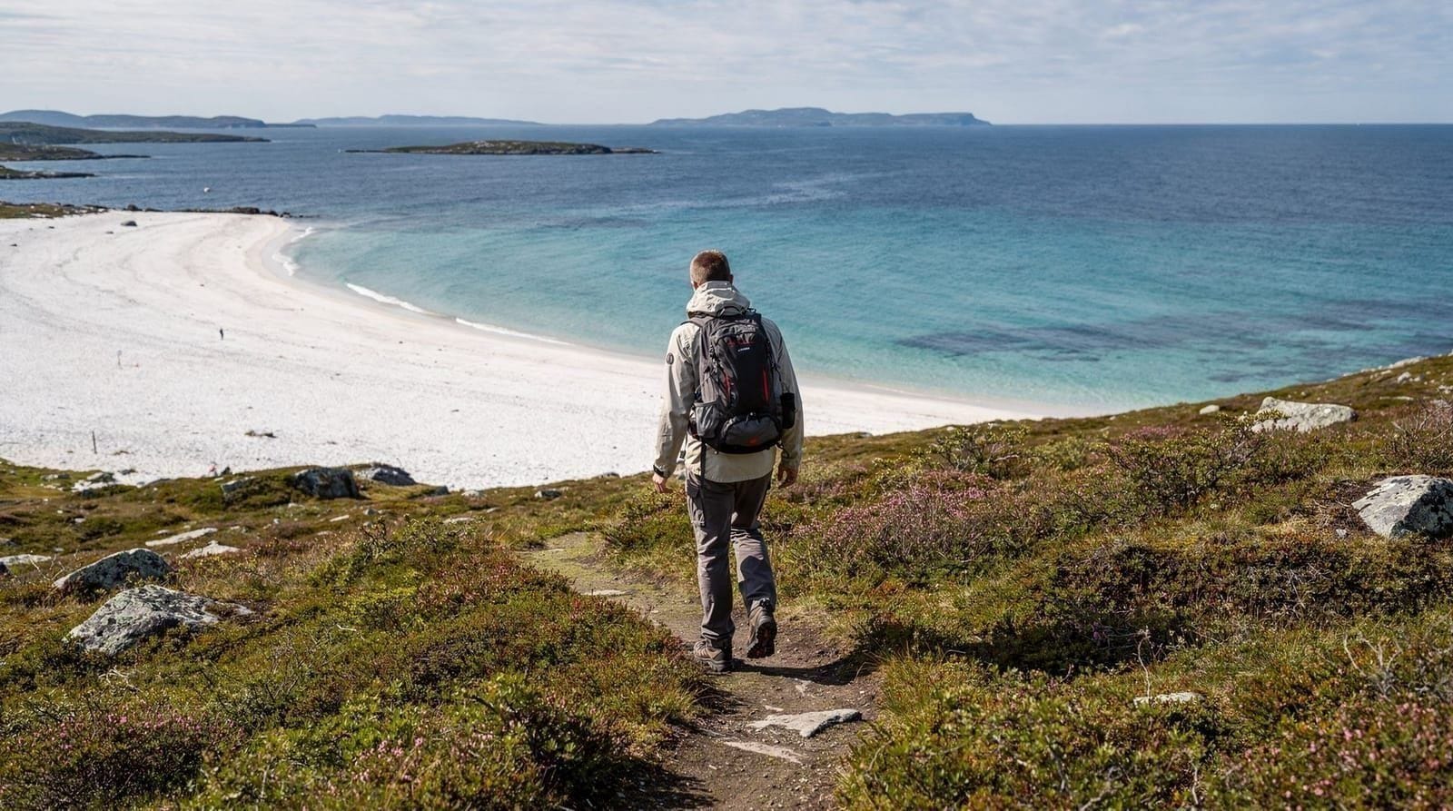
Coastal walk along Ersfjorden: A flat or gently rolling path runs along the shoreline for 3–5 km in each direction from the village. Suitable for all fitness levels. Good views up the fjord walls. The beach area is popular with locals in summer for picnics and swimming. Distance: up to 10 km return, all flat.
Trails into the hillsides above Ersfjordbotn: Steeper paths climb from the village into the mountains flanking the fjord. These are not marked trails but clear sheep paths — good navigators can reach 500–700 m altitude for fjord views. Difficulty: moderate to challenging.
Parking: At the beach/car park in Ersfjordbotn village. Free. Can fill on summer weekends.
Kaldfjord — ridge hiking and sea eagle territory
Kaldfjord, on the southern coast of Kvaløya, has different character from Ersfjorden — more open, with views toward the outer fjord system and the islands beyond. Trailheads around Kaldfjord give access to:
Ridge hikes above Kaldfjord: Several ridgelines rise to 600–800 m above the southern shore. These are pathless but manageable in good conditions — follow ridges rather than gullies. Sea eagle sightings are common here; the birds nest on the cliffs above the fjord. Difficulty: moderate to challenging. Elevation gain: 600–700 m. Time: 3–4 hours return.
Coastal walking: Lower-elevation paths along the fjord shore are suitable for easy days. The combination of sea, open moorland, and mountain backdrop is characteristic Kvaløya scenery.
Tindtinden and Daltinden — the summit hikes
The highest accessible summits on Kvaløya reach around 900 m. Daltinden is a popular local objective — a proper mountain with good views, technical only in winter. The route climbs from a trailhead accessible by car on the island’s interior road network.
Daltinden: Approximately 850 m summit. Elevation gain 650–700 m from the trailhead. Return time 4–5 hours. Loose rock on the upper section; no waymarking above the treeline. Best June–October.
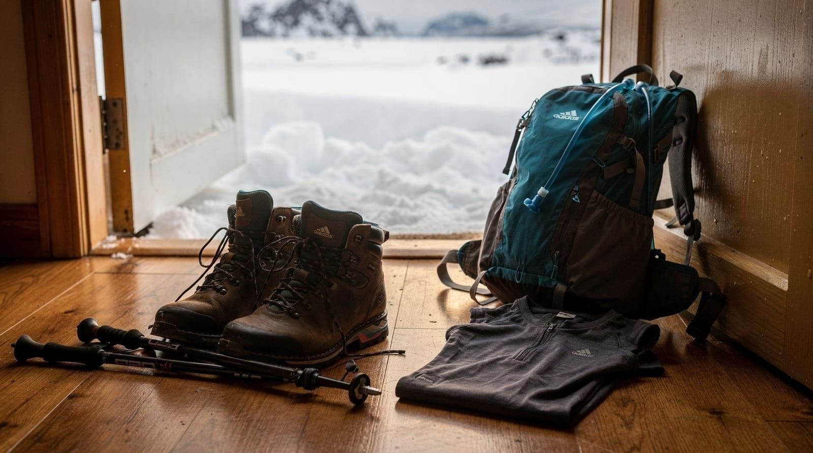
Gear: Hiking boots with ankle support, trekking poles recommended for the descent, wind layer and waterproof jacket. Full kit list in our hiking gear guide.
Winter hiking and snowshoeing on Kvaløya
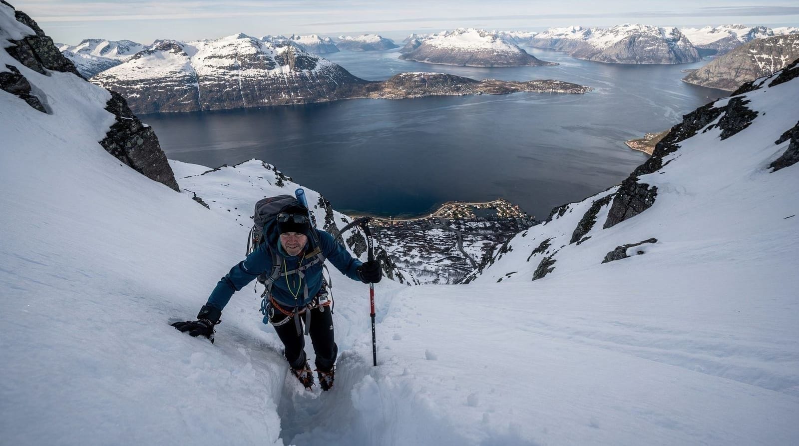
In winter, the Kvaløya hills above 400 m accumulate significant snow. The terrain between Ersfjordbotn and the ridge above is popular for snowshoeing — the low-angle moorland is generally outside avalanche run-out zones. Several guided snowshoe tours from Tromsø visit the Kvaløya hills.
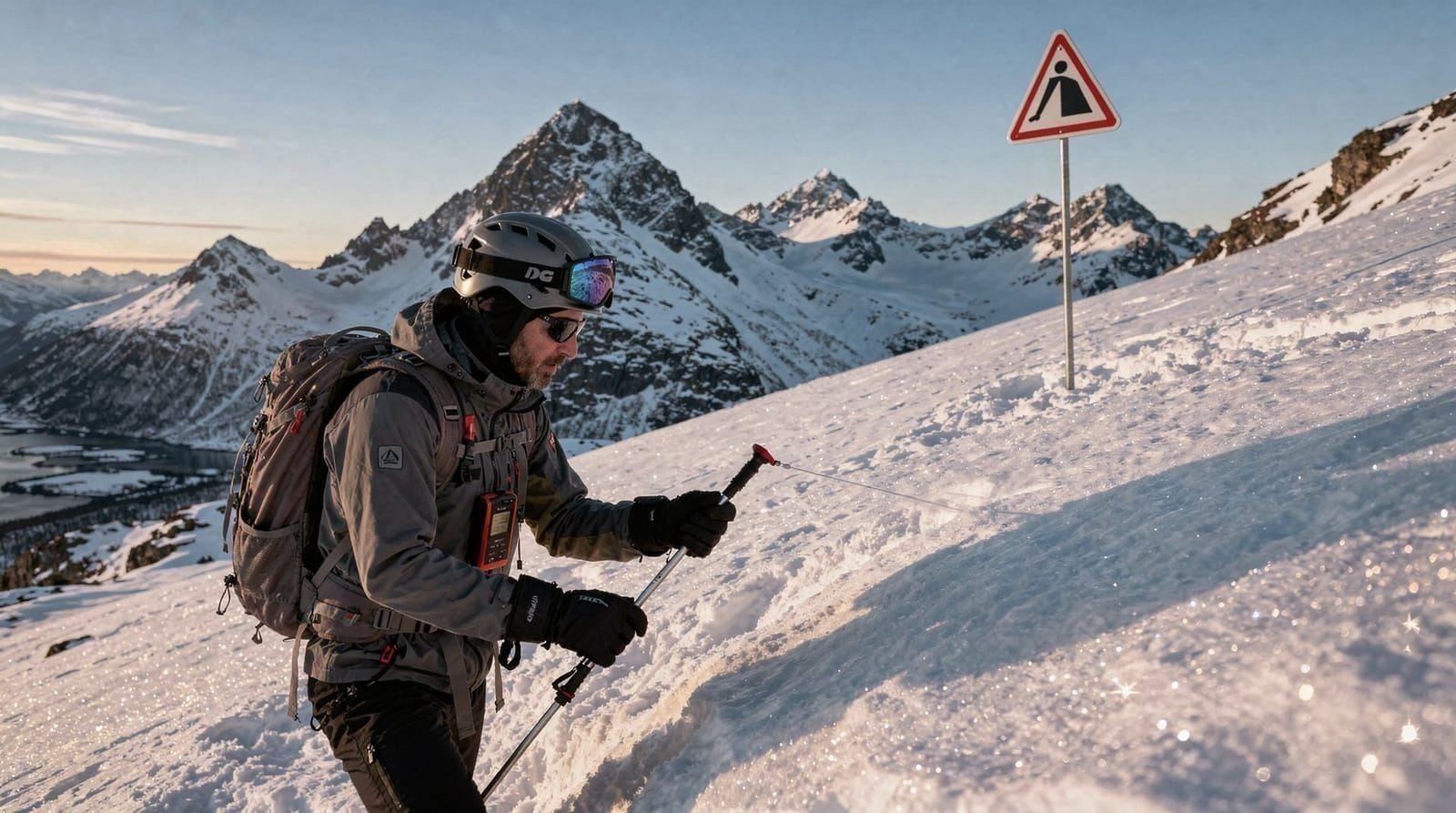
For avalanche-exposed terrain (steeper valley sides and ridges), read our hiking safety and avalanche guide before planning a winter hike above 400 m.
Sea kayaking as an alternative to hiking
Kvaløya’s fjord systems are popular for sea kayaking — a way to experience the coastal geography at water level rather than from above. Guided kayak tours departing from Tromsø visit Sommarøy’s surrounding waters, which are just beyond the western tip of Kvaløya.
Wildlife on Kvaløya hikes
White-tailed sea eagles: Large (2 m+ wingspan), unmistakeable. Common along Kaldfjord and Ersfjorden. Best seen from ridgelines above the water looking down.
Ptarmigan: The moorland above 400 m holds ptarmigan year-round. White in winter, mottled brown-grey in summer.
Red deer: Have extended their range north to Kvaløya over the past decade. Most likely seen at dusk in the valley floors.
Common seals: Rocky outcrops in Kaldfjord and around the Sommarøy islands have regular seal haul-outs.
Practical matters
Maps: Download the Ut.no app before you go — it has walking routes for Kvaløya with GPS tracking. The paper map 1:50,000 Tromsø-Kvaløya (Statens Kartverk) covers the whole island.
Facilities: Ersfjordbotn has a small car park and beach area. No café or shop at any trailhead. Bring food and water from Tromsø.
Fuel: Fill up before leaving Tromsø — petrol stations on Kvaløya are limited. The nearest is in the village of Kaldfjord.
Public transport limitation: Bus 24 runs to Ersfjordbotn and Kaldfjord but infrequently. A car is strongly recommended for hiking flexibility.
Weather: Kvaløya is exposed to west-southwest Atlantic weather. Conditions change faster than the sheltered Tromsø fjords. Check yr.no for Kvaløya specifically, not just Tromsø city.
Best time of year to hike Kvaløya
June–August is the reliable window for the summit and ridge hikes — snow-free trails, long daylight, and the widest choice of routes. It is also when the Ersfjordbotn beach area is busiest with locals and visitors alike, so arrive earlier in the day for parking. September brings cooler temperatures and thinning crowds while trails remain snow-free, making it a strong option for hikers who dislike summer traffic on the coastal road. October–May restricts higher routes to snowshoeing with proper avalanche awareness; the coastal Ersfjordbotn walk remains accessible year-round with appropriate footwear, and is often the most reliable off-season option when ridge conditions are unclear.
Combining a Kvaløya hike with Ersfjord beach
The Ersfjord village beach is one of the most photogenic spots in the Tromsø region — a sandy crescent backed by steep mountain walls with reflections in calm water. After hiking, it is a good place to eat lunch (pack it from Tromsø — no café) and sit in the sun if the weather is right. Our Ersfjord day trip guide has more on combining the two.
Connecting with Sommarøy
Most Kvaløya day trips continue westward to Sommarøy, an island of white sand beaches and traditional fishing village. Adding Sommarøy walks to a Kvaløya hiking day makes a satisfying coastal circuit. See our Sommarøy walks guide for low-key options accessible without a car on the island.
Maps and navigation for Kvaløya
Kvaløya is large enough that wandering without a map above the treeline is a real navigation risk — the moorland above 300 m looks uniform and can be confusing in low cloud. The island has no mountain rescue infrastructure of its own; the Tromsø Red Cross is the emergency service, and response times from the city are significant.
Practical navigation tools:
- Ut.no app: Download the Tromsø/Kvaløya region offline before leaving. The app shows user-submitted hiking routes, most with track logs. Coverage is good but not complete — some off-trail routes require independent navigation.
- Paper map: Statens Kartverk 1:50,000 “Tromsø” sheet covers most of Kvaløya. Available from Narvesen kiosks in Tromsø for around 120–150 NOK.
- GPS compass: On smartphones, the compass app works without signal. But calibrate it before heading into the hills — metal content in Norwegian mountain rock can affect readings.
Always download your intended route as a GPX track before leaving Tromsø. Mobile signal disappears above the treeline on most Kvaløya peaks.
The drive through Kvaløya — what to see beyond the hikes
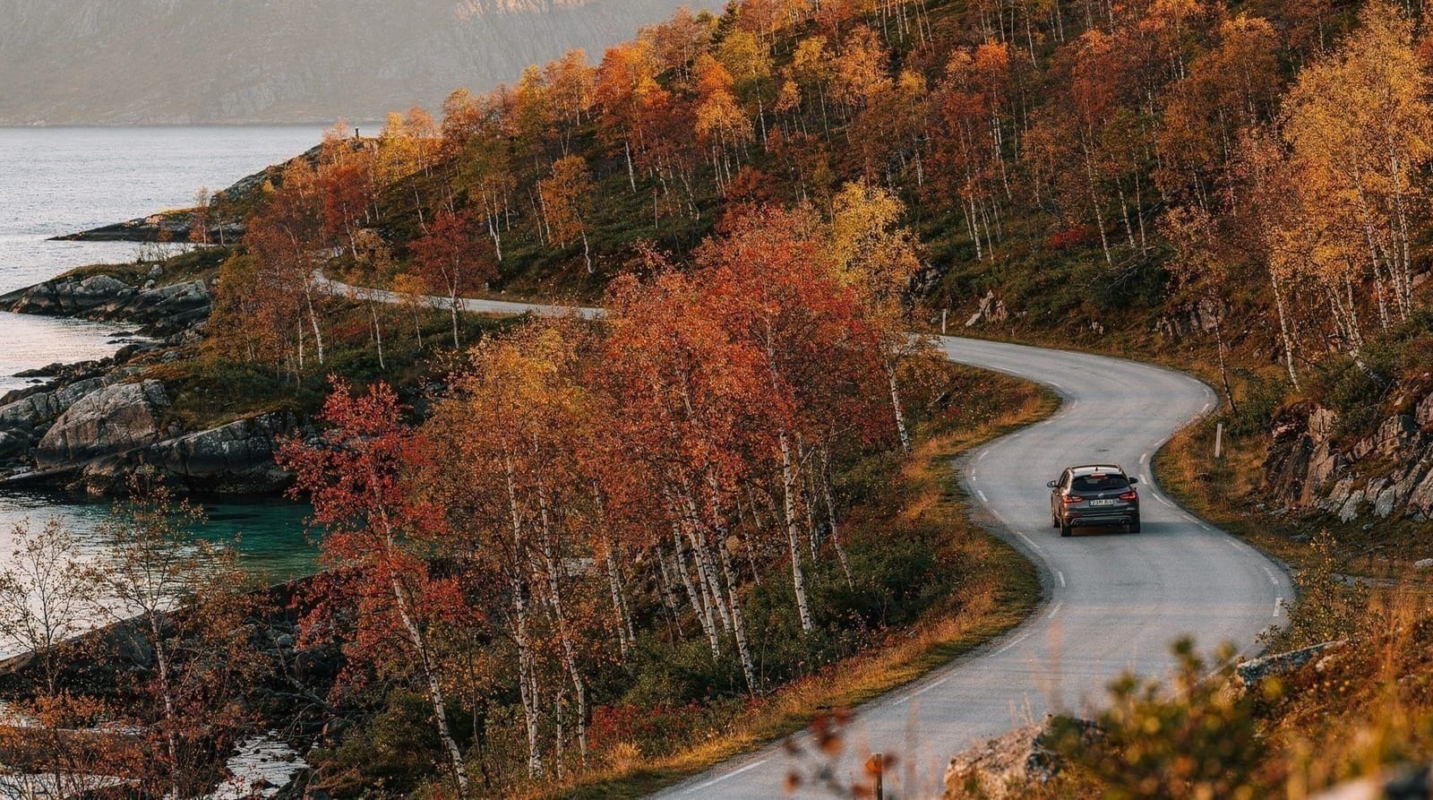
The E8 through Kvaløya is one of the more scenic drives accessible from Tromsø, and many visitors combine a hike with scenic stops along the road. Points worth noting:
Sandnessund Bridge: The bridge connecting Tromsøya to Kvaløya gives a view back over Tromsøya island with the city cluster visible. Good for a photograph on the way out.
Kaldfjordstranda: The beach area on the south coast of Kvaløya. Rocky, exposed, very different from Sommarøy’s sand. Sea eagle sightings above the cliffs are common.
Hillesøya lookout: On the road toward Sommarøy, a small pull-off gives views toward the outer islands — a preview of the Sommarøy landscape before you arrive.
Ersfjordbotn beach: 25 minutes from Tromsø. One of the region’s best stopping points — a deep fjord with a narrow sandy beach at the far end, backed by 700–900 m peaks. See our Ersfjord day trip guide.
Combining Kvaløya hiking with a day trip structure
A well-structured Kvaløya day from Tromsø might look like:
- 08:00: Depart Tromsø
- 08:30–12:30: Hike on Kaldfjord ridges or Daltinden (3–4 hours, bring food)
- 13:00: Drive to Ersfjordbotn, eat by the beach
- 14:00–17:00: Coastal walk or swim at Ersfjordbotn
- 17:30–19:00: Drive on to Sommarøy for beach and island-hopping
- 19:30: Return to Tromsø
This covers three distinct environments (mountain ridge, fjord beach, island coast) in a single day without rushing. See our Sommarøy walks guide and Kvaløya day trip guide for more options.
Frequently asked questions about hiking on Kvaløya
How do I get to Kvaløya from Tromsø?
Drive west over the Sandnessund Bridge (free, on the E8 highway). The drive to Ersfjordbotn takes about 25 minutes. Bus 24 serves key villages but infrequently — a car gives much more flexibility.
Which Kvaløya hike is best for beginners?
The Ersfjordbotn coastal walk is the easiest — flat paths along the shoreline, suitable for all fitness levels, with good fjord views. Sommarøy is also easily combined for low-key coastal paths.
Is hiking on Kvaløya safe in winter?
Coastal and low-elevation routes are safe with good footwear. Ridges above 600 m carry avalanche risk November–April. Check varsom.no (avalanche warning service) before any winter ridge hike.
How high are the summits on Kvaløya?
The highest summits reach around 850–900 m. Daltinden is a popular objective at approximately 850 m, with 650–700 m of elevation gain from the trailhead.
Are there guided hikes on Kvaløya?
Several Tromsø operators run guided snowshoe tours in the Kvaløya hills in winter. Independent hiking is popular in summer with the Ut.no app for navigation.
What wildlife can I see?
White-tailed sea eagles are the headline species — common along the fjords. Ptarmigan on the moorland, red deer in the valley floors, seals on coastal rocks.
Do I need to book a guide, or is self-guided hiking fine?
Self-guided hiking is fine and normal on the marked coastal routes and lower ridgelines, provided you carry a downloaded GPX track and check the forecast. A guide adds real value above 400 m in winter (avalanche judgement) or if you specifically want the ecology and wildlife commentary that a snowshoe tour guide provides.
Top experiences
Bookable activities with verified prices and instant confirmation on GetYourGuide.