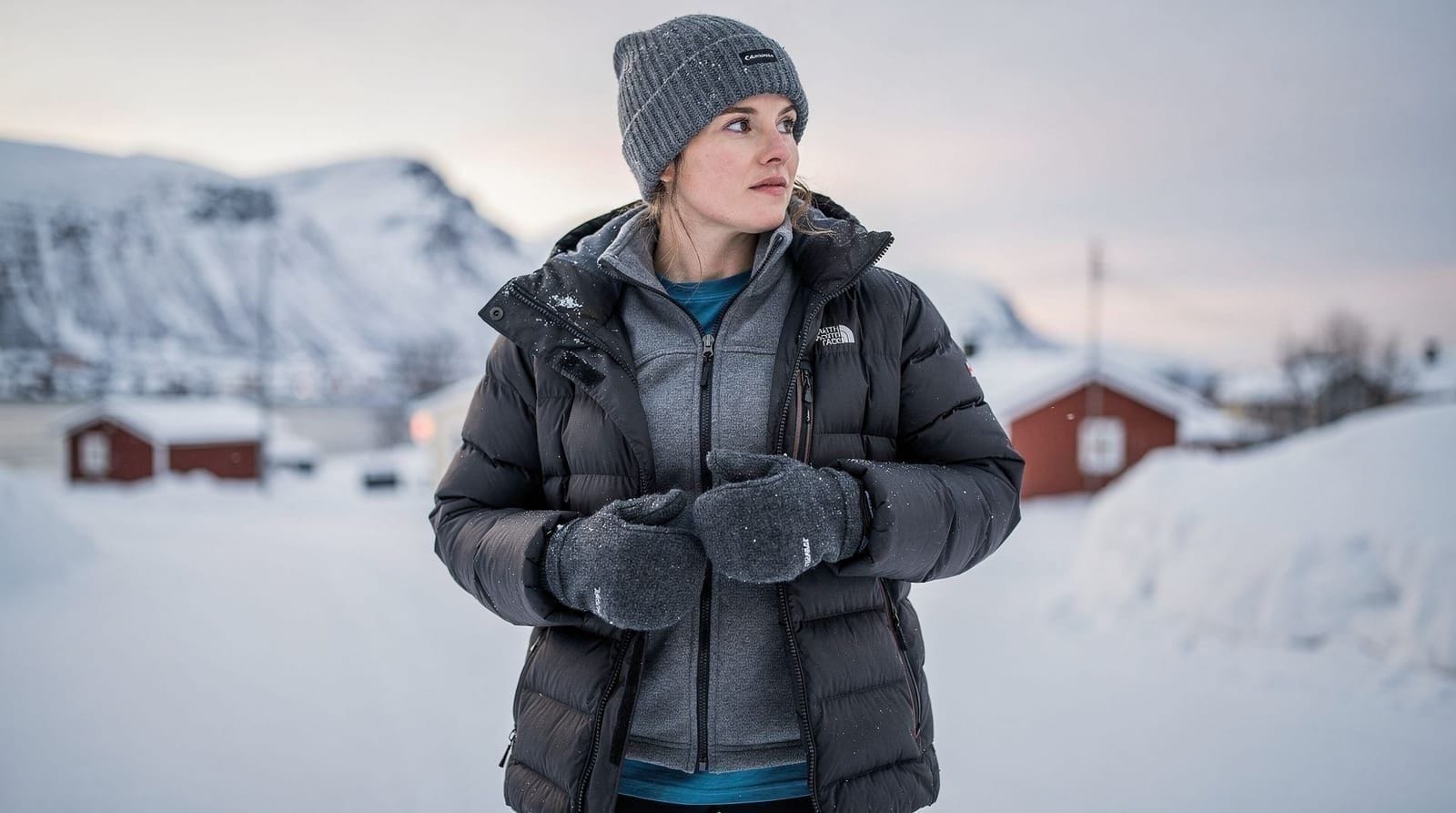
Hiking safety and avalanche awareness in Tromsø — an honest guide
From Tromsø: Snowshoeing Hike with Picnic Lunch and Photos
How serious is avalanche risk for hikers around Tromsø?
Avalanche risk around Tromsø is genuine and causes fatalities every year in Norway. The mountains around Tromsø and the Lyngen Alps have steep slopes with significant snow loading. Hikers venturing above 400 m between October and May should check the Norwegian Avalanche Warning Service (varsom.no) daily and understand basic terrain avoidance. Most summer hiking (June–September) is outside peak avalanche season.
| Key resource | varsom.no, Norway’s avalanche warning service (English) |
| Danger scale | 1 (low) to 5 (extreme), updated daily |
| Season | October–April/May, peak risk after heavy snowfall |
| Emergency number | 112 |
| Rescue cost | free — Norway does not bill for mountain rescue |
Norway records 5–10 avalanche fatalities per year, with a significant proportion in Troms county. The mountains around Tromsø and the Lyngen Alps are among Europe’s most avalanche-active mountain ranges when measured by terrain steepness and snowfall volume. This is not a reason to avoid the mountains — millions of Norwegians hike and ski here every winter safely. But it requires understanding the real risks rather than assuming “guided tour” equals “no risk”.
This guide covers avalanche terrain, how to assess risk, emergency protocols, and how to distinguish safe from risky routes.
Why the Tromsø area has significant avalanche terrain
Three factors combine to create high avalanche frequency:
Steep terrain close to sea level: The mountains around Tromsø rise directly from the fjord with few gradual approaches. Slopes of 35–55 degrees (the most avalanche-prone angle range) are common within 2 km of trailheads.
High snowfall and temperature variability: The Tromsø area receives 1.5–2 metres of snow annually at lower elevations, with much more at higher altitude. Temperature fluctuates across the freezing point repeatedly through the winter, creating layers of varying strength in the snowpack.
Wind loading: Arctic winds from the north and east create extreme wind-loaded slabs on lee slopes. A calm day can be followed by a night of intense wind that deposits 30–50 cm of slab in hours.
The Norwegian Avalanche Warning Service — varsom.no
Varsom.no is the single most important resource for pre-hike planning in winter. It publishes:
- Danger level: 1 (low) through 5 (extreme), updated daily
- Avalanche problem type: New snow, wind slab, persistent weak layer, wet avalanche, gliding
- Aspect and elevation: Which slope directions and heights are specifically at risk
- Natural and human-triggered likelihood
The site is available in English. The app version (also varsom.no) works offline once downloaded — load it before you leave the city, because signal is poor in many mountain areas.
Rule of thumb: On danger level 3 or above, do not enter slopes above 30 degrees, do not travel below steep terrain, and consider changing your planned route to stay on ridgelines or valley floors.
Understanding avalanche terrain
The critical skill is terrain recognition — identifying which slopes can avalanche and which do not.
Slope angle: The most dangerous range is 28–45 degrees. Slopes below 25 degrees rarely avalanche. Slopes above 55 degrees tend to shed snow continuously rather than accumulate dangerous slab. A clinometer (or angle app on your phone) helps judge slope angle.
Aspect (direction the slope faces): During and after northerly or easterly wind events, north-facing and east-facing slopes accumulate wind slab. After southerly events, the opposite. Check the varsom.no aspect description.
Terrain traps: Gullies, cliff bands, and trees below a slope concentrate the consequences of an avalanche. A small slab that would be survivable on open terrain becomes fatal if it funnels into a gully.
Convexities: The convex roll of a slope (where steep and flat meet) is where slabs tend to release. Standing on or just below a convex roll is higher risk.
Signs of instability: Recent avalanche activity (shooting cracks, collapsing sounds “whumpf”, recent debris), heavy recent snowfall, rain or rapid warming are all red flags. If you see any of these, treat terrain conservatively.
Safe vs risky routes near Tromsø
Generally lower risk (even in winter):
- The Sherpa trail to Fjellheisen/Storsteinen — ridge route, no exposure to slopes above
- Moorland at below 25-degree angle on Kvaløya (e.g. around Ersfjordbotn beach area)
- Valley floors that are not below steep terrain
- Ridgelines that don’t have steep flanks loaded with wind slab
Potentially risky (route-specific assessment required):
- The upper section of Tromsdalstinden above 800 m — steep slopes
- The valley sides around Kaldfjord on Kvaløya
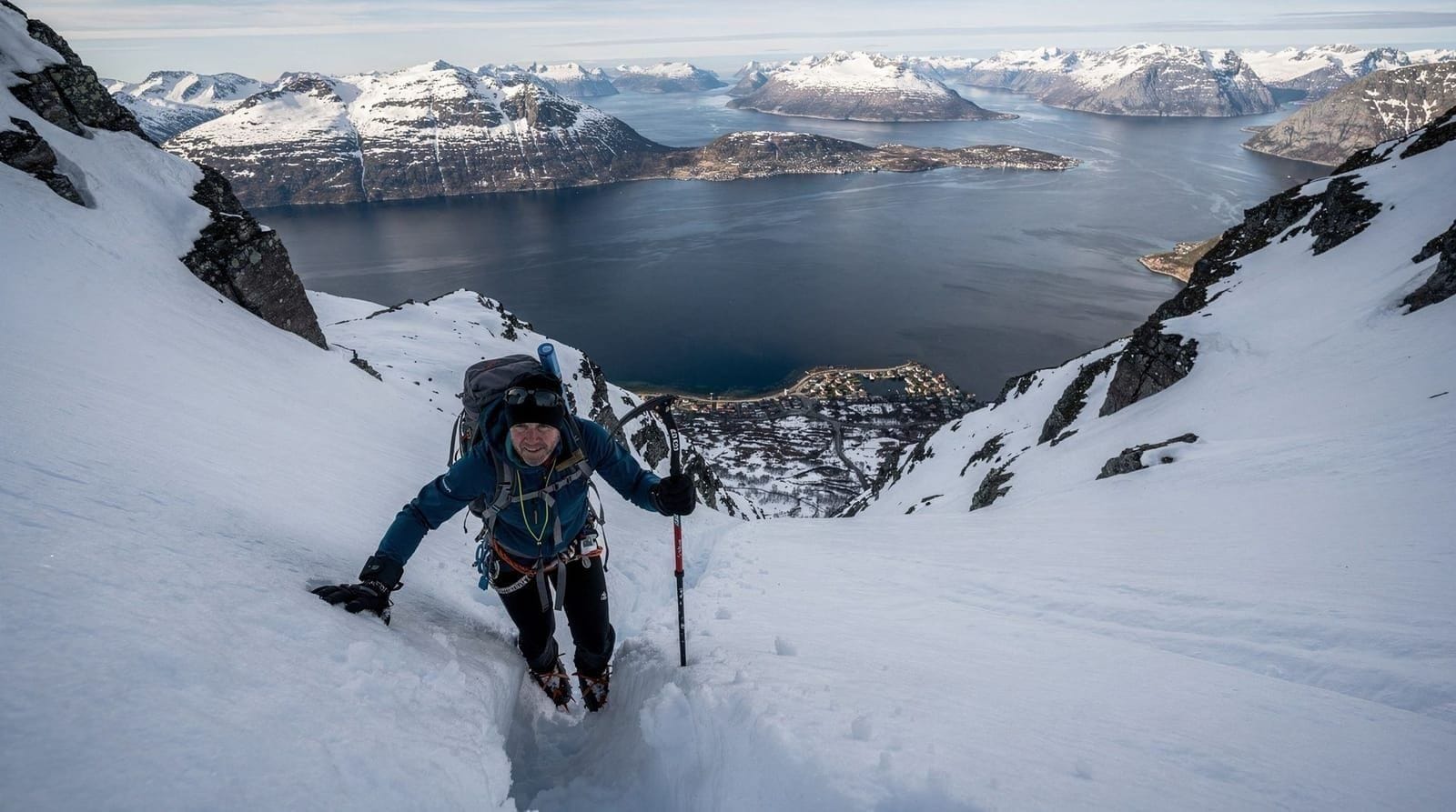
- The Lyngen Alps (essentially any route above 500 m in the core alpine terrain)
- Tamok Valley approaches to higher terrain
Emergency protocol
If someone is caught:
- Call 112 immediately
- Note GPS location or precise landmarks
- Mark the last seen point
- Do not leave the area unless life is at risk
- If equipped with probe, transceiver, and shovel — begin organised transceiver search immediately
- If not equipped — probe the debris by hand starting from the last seen point
Time matters: Survival rate at 15 minutes burial is roughly 90%. At 45 minutes, it drops below 30%. At 120 minutes, close to 0%. This is why transceiver/probe/shovel and the training to use them is genuinely life-saving equipment, not tourism kit.
Guided tours and avalanche safety
Reputable guided snowshoe and hiking tours from Tromsø route-plan around avalanche terrain. Guides are typically qualified (Norwegian mountain guide or equivalent) and assess conditions daily. The benefit of a guide is not just navigation — it is risk assessment from someone who has monitored local snowpack for years.
However, no guide eliminates all risk in avalanche terrain. The question to ask before any winter mountain tour: “What is today’s avalanche danger rating and have you modified the route in response to it?”
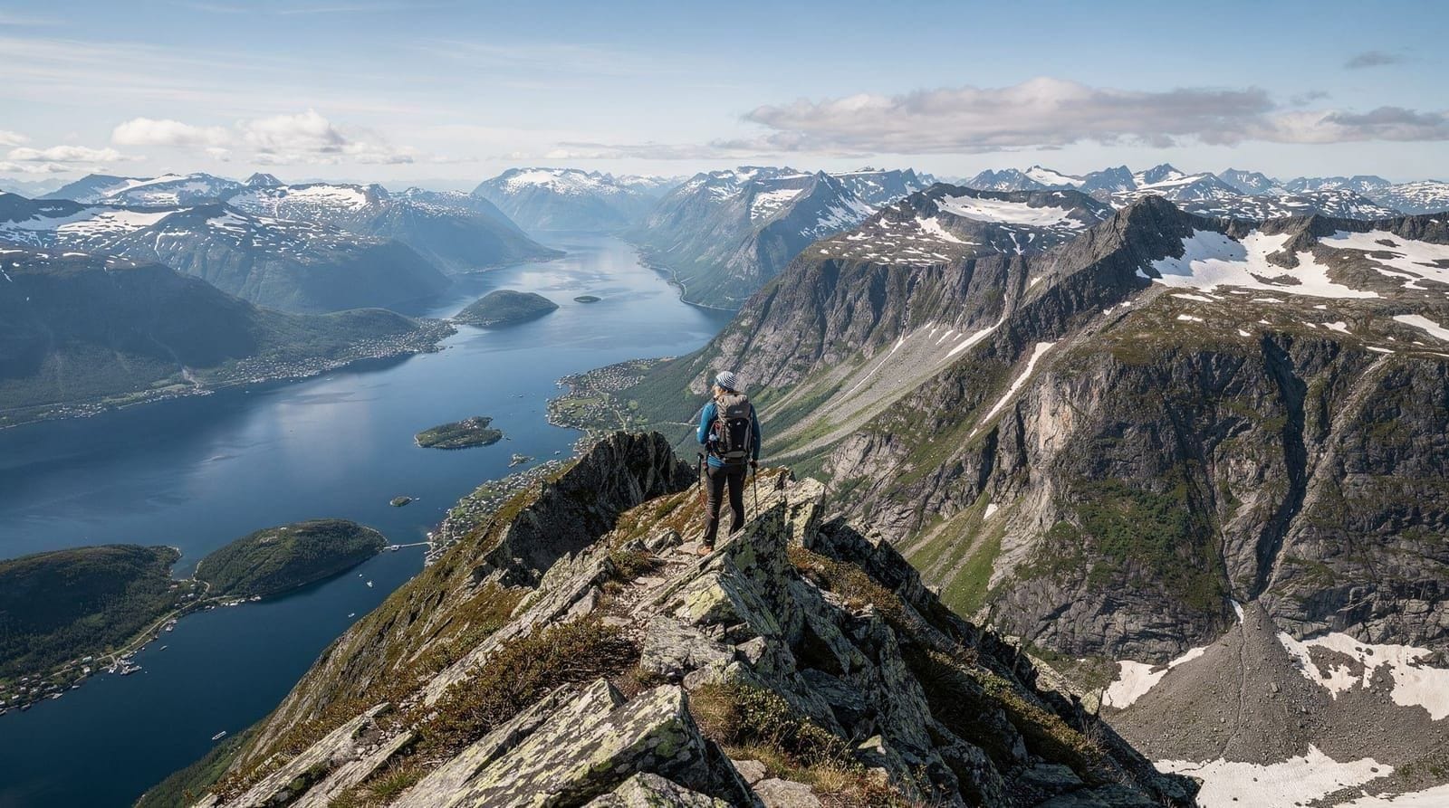
Summer hiking safety (non-avalanche risks)
Weather: The mountains around Tromsø can go from warm and sunny to cold, wet, and windy in 30 minutes. Always carry a wind/waterproof jacket even for short hikes.
Hypothermia risk from wet + cold + wind: Cotton clothing is dangerous in wet conditions — it loses all insulating value when wet. Wool and synthetic fabrics maintain some warmth even wet. This matters in Tromsø’s environment where rain is frequent even in summer.
Dehydration: In cool weather, you don’t feel thirsty even when losing fluids. Drink 0.5 litres per hour of active hiking.
Navigation above treeline: Norwegian mountain terrain above the birch treeline can look uniform and is easy to lose track of in cloud. Download a GPX track before heading up.
Mobile signal: Unreliable above the treeline in many areas. Tell someone your route and expected return before leaving.
Falling on scree: The descent on loose scree (Tromsdalstinden especially) is where most falls happen. Take your time, keep weight over your heels, and use trekking poles. Tired legs late in the day + loose rock is a predictable combination.
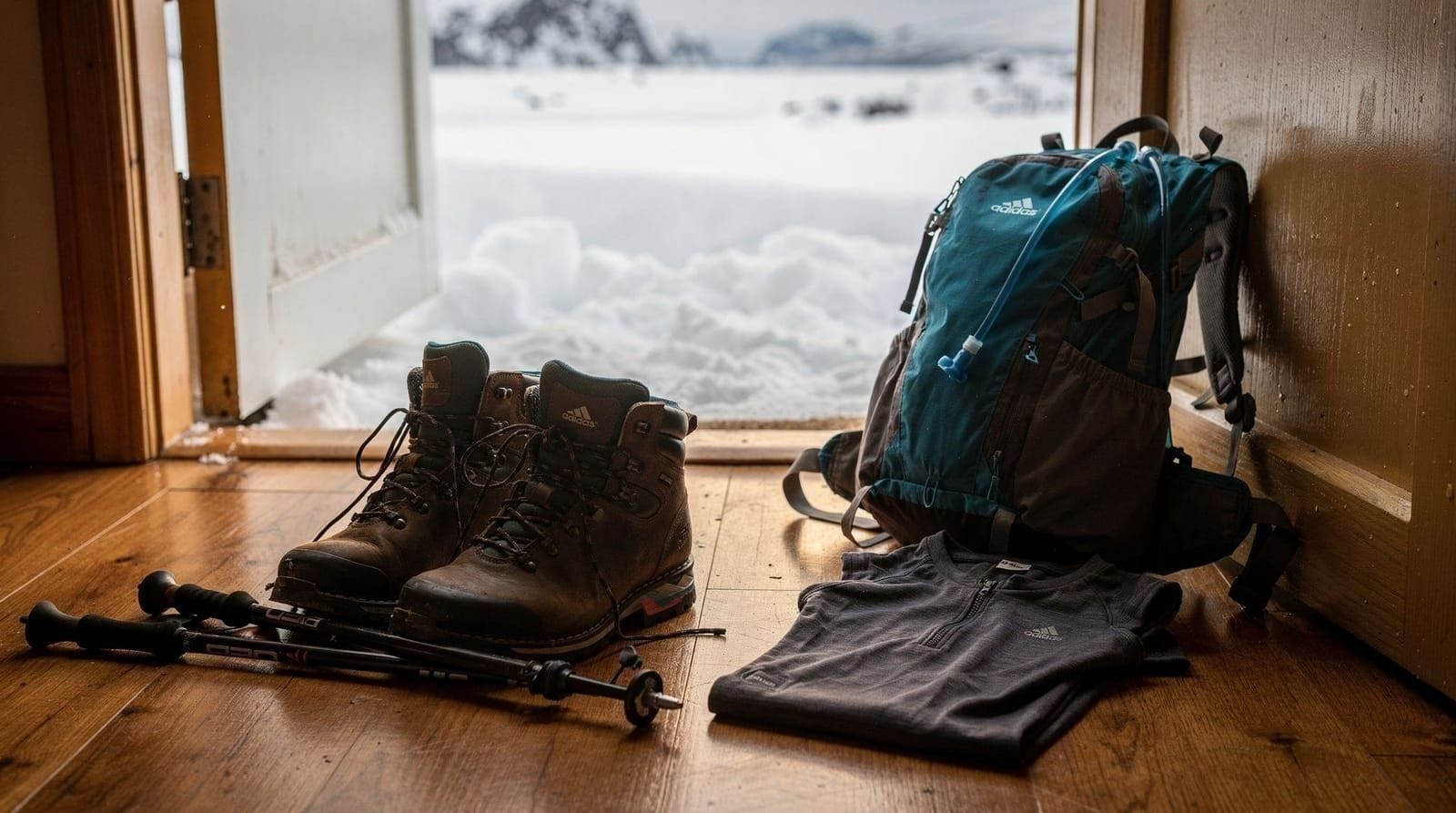
Full gear list for winter mountain hiking
| Item | Winter essential |
|---|---|
| Transceiver | Yes (if in avalanche terrain) |
| Probe | Yes |
| Shovel | Yes |
| Crampons | Yes above 400 m Oct–Apr |
| Trekking poles | Yes |
| Wind/waterproof jacket | Yes |
| Insulating mid-layer | Yes |
| Merino base layer | Yes |
| Balaclava | Yes |
| Warm hat | Yes |
| Liner gloves + outer mittens | Yes |
| Waterproof trousers | Yes |
| Winter boots | Yes |
| Headtorch | Yes |
| Emergency bivvy | Recommended |
Full details at our hiking gear guide for Tromsø.
Hypothermia and cold injuries — the non-avalanche winter risks
Avalanche is the most publicised winter mountain risk, but hypothermia and frostbite cause more total incidents in the Tromsø region.
Hypothermia: Core body temperature drops below 35°C. Early signs: shivering, loss of fine motor control, irritability, confusion. The risk factors in Tromsø’s mountains are: wet clothing (rain soaking through inadequate waterproofing), wind chill, and fatigue reducing the body’s ability to generate heat. Cotton clothing is a specific risk — it loses almost all insulation when wet.
Treatment in the field: Get the person out of wind, replace wet clothing with dry layers if available, insulate from the ground, share body warmth in a group shelter (emergency bivvy bag), give warm drinks (not alcohol — it causes peripheral dilation and increases heat loss). Call 112 for evacuation if improvement does not occur within 30 minutes.
Frostbite: Tissue freezes in extremities — fingers, toes, nose, ears. Occurs at temperatures below -5°C, faster with wind. Prevention: keep extremities moving, wear waterproof insulated gloves (not just liners), ensure socks are dry inside boots. Superficial frostbite (skin white and hard, blanches to red when pressed) can be rewarmed in the field with body heat. Deep frostbite (hard, does not blanch) requires hospital treatment — do NOT rub, do NOT rewarm if there is risk of re-freezing.
Navigation failure — getting lost in winter terrain
Getting lost in summer is an inconvenience. Getting lost in winter terrain above the treeline in Tromsø is a potential emergency.
Why it happens: White-out conditions (blowing snow) reduce visibility to 5–10 m. Compasses work but slope reading is impaired. The mind convinces you that “down” is in a different direction than reality.
Prevention:
- Always have a GPX track loaded on your phone before you leave the city
- Know how to read a compass bearing and follow it in low visibility
- The Tromsø mountains have a consistent relationship between slope direction and fjord/valley — losing height generally brings you toward the treeline, which leads to a road eventually
- If completely lost above treeline in bad visibility, stop and build shelter, signal with whistle and torch, call 112 if you have signal
Ut.no offline maps: Download the region before departure. The app works without any mobile signal once downloaded.
The summer-specific risks: scree, weather change, and exhaustion
Summer hiking in Tromsø’s mountains is generally safer than winter but carries its own risk profile.
Scree: Loose rock on the upper section of Tromsdalstinden and similar peaks is where most non-fatal falls occur. The descent is when legs are tired and attention flags. Common scenario: hiker has excellent footwear and completes the ascent safely, then rushes the descent to “get it over with” — rushed feet on loose rock. Take descents slowly, step by step, poles on the uphill side.
Weather change: A storm system can change summit conditions from “warm and sunny” to “cold, horizontal rain, 40 kph wind” in under an hour. Always carry the full weather layer regardless of morning conditions.
Dehydration and fatigue: Norwegian hikers are culturally trained to push through discomfort. Visitors sometimes match this pace without the baseline fitness. Dehydration at altitude (even mild dehydration) reduces decision-making capacity. Drink on a schedule, not on demand.
Sun exposure: This sounds unlikely in Arctic conditions, but ultraviolet radiation at altitude and reflected from snow is significant. Sunscreen on a clear snow-covered day at 1200 m is not optional. Sunglasses (UV-rated) prevent snow blindness.
Rescue services and costs
Norway’s rescue services are provided free of charge — you will not be billed for a helicopter evacuation. This is genuinely different from many Alpine countries. However, the moral and resource cost of calling out rescue services for preventable situations is real.
Call 112 for mountain rescue emergencies. The Tromsø Red Cross mountain rescue group operates throughout the year and is highly experienced in the local terrain.
What 112 needs: Your location (GPS coordinates are best — read them off your phone map), description of the situation, number of people, and any injuries.
EPIRB/PLB devices: For extended backcountry travel in areas with no mobile signal, a personal locator beacon (PLB) or satellite communicator (Garmin inReach, SPOT) provides rescue alert capability outside mobile coverage. Worth considering for multi-day independent travel in Lyngen or Senja.
Matching your route to your risk tolerance
Not every Tromsø hike carries meaningful avalanche exposure, and matching ambition to season and experience is the single most useful safety decision most visitors make.
| Experience level | Safer season/routes | Routes to avoid without training |
|---|---|---|
| First-time winter visitor | Guided snowshoe tours, Sherpa trail to Storsteinen | Any unguided alpine terrain above 400 m |
| Fit summer hiker | Tromsdalstinden, coastal Kvaløya walks (June–Sept) | N/A — avalanche risk is minimal in summer |
| Experienced winter hiker with kit | Ridge routes with low avalanche exposure, checked daily against varsom.no | Lyngen Alps core terrain without a transceiver, probe, and shovel |
| Guided groups | Any route the guide selects and route-plans daily | Solo variations off the guided route |
If your hiking plans for the trip are limited to the Sherpa trail and lower Kvaløya walks, the avalanche information above is background knowledge rather than a daily checklist. It becomes essential once you consider Tromsdalstinden above 800 m or any route into the Lyngen Alps in winter. A useful habit for any multi-day winter trip is checking varsom.no each morning over coffee, regardless of what you have planned for the day — conditions on Tromsø’s mountains change fast enough that yesterday’s assessment does not carry over reliably, and a five-minute check costs nothing.
Building the right kit for the risk level
Matching gear to route is as important as matching route to experience. Our hiking gear guide for Tromsø covers footwear and layering in detail; this section focuses specifically on what avalanche terrain adds to that baseline. A transceiver, probe, and shovel are non-negotiable above 400 m in winter — renting these locally alongside snowshoes is common practice and far cheaper than buying equipment you may use only once on this trip.
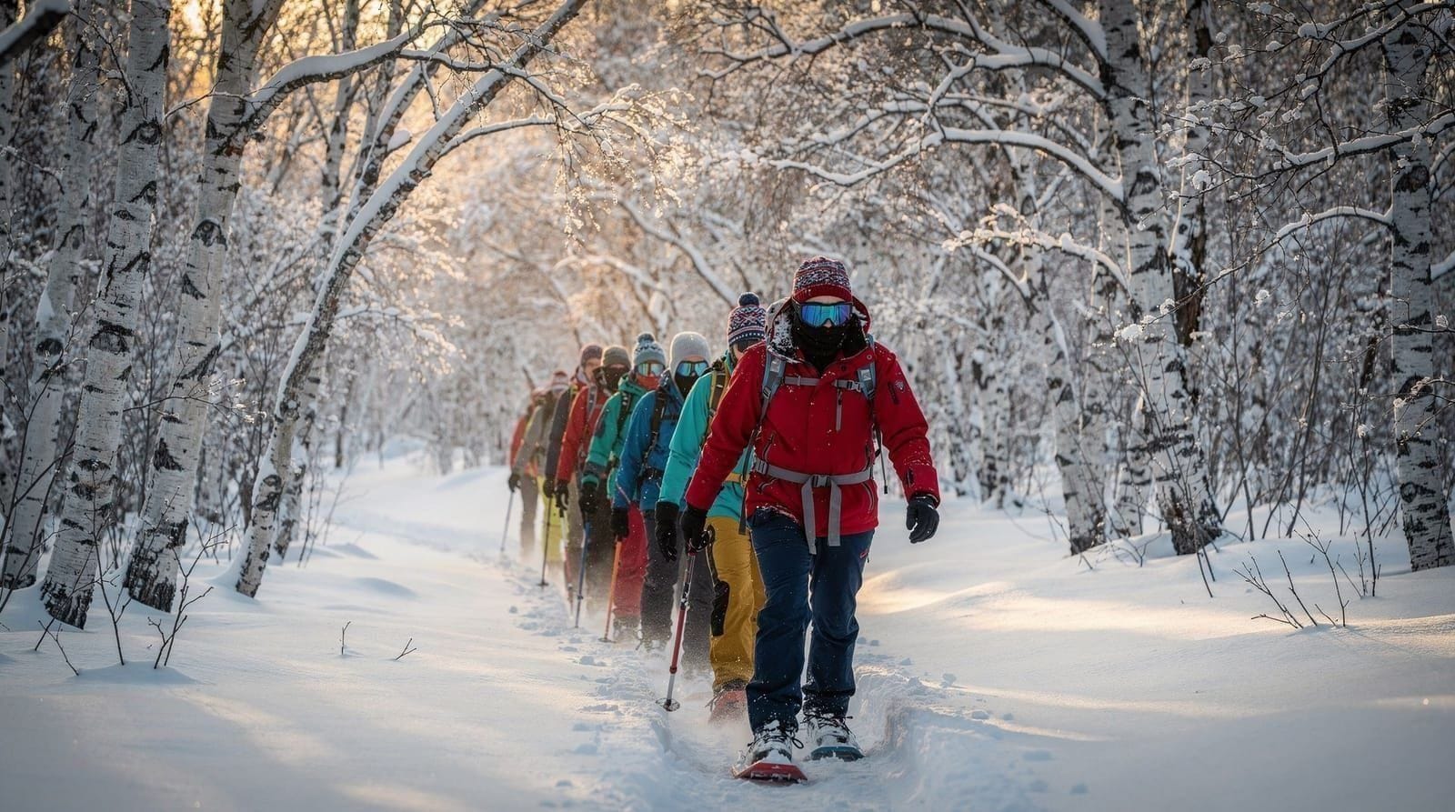
Camp Tamok guided snowshoeing — route-planned around the day’s avalanche conditionsFrequently asked questions about hiking safety and avalanche risk in Tromsø
How do I check avalanche risk before hiking?
Use varsom.no — Norway’s Avalanche Warning Service. Check daily danger rating (1–5), problem type, and which slopes are affected. Available in English.
Which areas have the highest avalanche risk?
The Lyngen Alps, the upper Tromsdalstinden approach above 800 m, and steep valley sides around Kaldfjord and Tromsdalen. Coastal moorland on Kvaløya below 25-degree angle is much lower risk.
What should I carry for winter mountain hiking?
Transceiver, probe, and shovel for any avalanche terrain — plus training to use them. Add crampons, trekking poles, waterproof layers, and warm insulation.
When is avalanche season in Tromsø?
October–April/May. Peak risk during heavy snowfall, rain-on-snow events, and rapid warming. June–September avalanche risk is minimal for most hiking terrain.
Are guided tours safe from avalanche risk?
Reputable guides route-plan around risky terrain and check varsom.no daily. This significantly reduces (but does not eliminate) risk. Ask your guide about their terrain assessment approach before joining any winter mountain tour.
What should I do if I see someone caught in an avalanche?
Call 112 immediately. Mark the last seen point. Begin transceiver search if equipped. Probe from the last seen point downslope. Speed is critical — survival rate drops sharply after 15 minutes of burial.
Is the Sherpa trail to Storsteinen affected by avalanche risk?
No — it is a ridge route with no significant slopes above it, making it one of the lowest-risk options year-round. See the Fjellheisen and Storsteinen hike guide for trail conditions by season.
Are the Lyngen Alps safe for a day hike without a guide?
Not recommended in winter without avalanche training and equipment — the Lyngen Alps are core alpine terrain with steep, wind-loaded slopes. See the Lyngen day hikes guide for which routes are more forgiving and which require serious preparation.
Top experiences
Bookable activities with verified prices and instant confirmation on GetYourGuide.